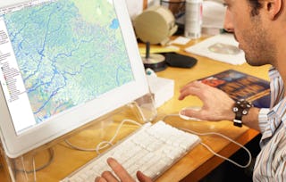
Get started learning about the fascinating and useful world of geographic information systems (GIS)! In this first course of the specialization GIS, Mapping, and Spatial Analysis, you'll learn about what a GIS is, how to get started with the software yourself, how things we find in the real world can be represented on a map, how we record locations using coordinates, and how we can make a two-dimensional map from a three-dimensional Earth. In the course project, you will create your own GIS data by tracing geographic features from a satellite image for a location and theme of your choice. This course will give you a strong foundation in mapping and GIS that will give you the understanding you need to start working with GIS, and to succeed in the other courses in this specialization.

Introduction to GIS Mapping

Introduction to GIS Mapping
This course is part of GIS, Mapping, and Spatial Analysis Specialization

Instructor: Don Boyes
Top Instructor
91,281 already enrolled
Included with
2,323 reviews
Skills you'll gain
Tools you'll learn
Details to know

Add to your LinkedIn profile
See how employees at top companies are mastering in-demand skills

Build your subject-matter expertise
- Learn new concepts from industry experts
- Gain a foundational understanding of a subject or tool
- Develop job-relevant skills with hands-on projects
- Earn a shareable career certificate

There are 6 modules in this course
Earn a career certificate
Add this credential to your LinkedIn profile, resume, or CV. Share it on social media and in your performance review.
Instructor
Offered by

Explore more from Environmental Science and Sustainability
 Status: Free Trial
University of California, Davis
 Status: Free Trial
University of Toronto
 Status: Preview
 Status: Free Trial
University of Toronto
Why people choose Coursera for their career

Felipe M.

Jennifer J.

Larry W.

Chaitanya A.
Learner reviews
- 5 stars
88.20%
- 4 stars
9.47%
- 3 stars
1.16%
- 2 stars
0.21%
- 1 star
0.94%
Showing 3 of 2323
Reviewed on Oct 29, 2019
This course thoroughly introduces concepts that are a must to know when using any GIS software to create maps. I highly recommend it to anyone wanting to learn about mapping.
Reviewed on Jul 24, 2020
Absolutely great course and very exciting. The course is more practical and the lecture is really good in explaining complex concepts. It is really a well structured introduction ti GIS.
Reviewed on Apr 11, 2022
An excellent course to learn the basics of GIS and ArcGIS! The instructor's pedagogical approaches are funfilled and insightful. I enjoyed learning from you, Sir Don Boyes! Thank you.
Advance your career with an online degree
Earn a degree from world-class universities - 100% online


¹ Some assignments in this course are AI-graded. For these assignments, your data will be used in accordance with Coursera's Privacy Notice.