Remote Sensing Courses
Remote sensing courses can help you learn about satellite imagery analysis, geographic information systems (GIS), and environmental monitoring techniques. You can build skills in data interpretation, spatial analysis, and remote sensing applications in agriculture and urban planning. Many courses introduce tools like ArcGIS and QGIS, along with software for processing satellite data, that support analyzing and visualizing geographic information.
Popular Remote Sensing Courses and Certifications
 Status: NewStatus: Preview
Skills you'll gain: User Interface (UI), Application Development, Application Deployment, UI Components, User Interface (UI) Design, User Interface and User Experience (UI/UX) Design, Program Development, Interactive Design, Development Environment, Software Development Life Cycle, Software Testing, Context Management, Frontend Integration, Application Frameworks, Application Performance Management, Debugging, Application Security, Event-Driven Programming, Web Services

Google Cloud
Skills you'll gain: Google Gemini, Gemini, Exploratory Data Analysis, Interactive Data Visualization, Data Wrangling, Prompt Engineering, Google Cloud Platform, Data Transformation, Debugging, Query Languages
 Status: New
Google Cloud
Skills you'll gain: Google Cloud Platform, Problem Management, Cloud Services, System Monitoring, Cloud Management, Cloud Infrastructure, Debugging, Incident Response
 Status: NewStatus: Free Trial
Coursera
Skills you'll gain: Spatial Data Analysis, Geospatial Mapping, Geospatial Information and Technology, Geographic Information Systems, Spatial Analysis, Model Evaluation, Image Analysis, Image Quality, Data Analysis, Data Literacy, Analytical Skills, Technical Communication, Process Validation, Data Sharing, Cloud Applications
 Status: Preview
The University of Edinburgh
Skills you'll gain: Environmental Monitoring, Geospatial Information and Technology, Geospatial Mapping, Spatial Data Analysis, Environment and Resource Management, Climate Change Programs, Environmental Science, Environmental Issue, Image Analysis, Continuous Monitoring, Physical Science, Data Access
 Status: NewStatus: Free Trial
Skills you'll gain: Model Evaluation, Spatial Analysis, Spatial Data Analysis, Geostatistics, Geospatial Mapping, Model Training, Geospatial Information and Technology, Applied Machine Learning, Image Analysis, Feature Engineering, Machine Learning Methods, Deep Learning, Convolutional Neural Networks, Machine Learning, Data Processing, Fine-tuning, Data Analysis, Random Forest Algorithm, Technical Communication
 Status: Free Trial
University of Colorado Boulder
Skills you'll gain: Electrical Power, Power Electronics, Electrical Systems, Electrical Equipment, Torque (Physics), Electronic Components, Electric Power Systems, Basic Electrical Systems, Electrical Engineering, Semiconductors, Engineering, Scientific, and Technical Instruments, Mechanical Engineering, Plant Operations and Management, Electronics, Engineering Calculations, High Voltage, Machine Controls, Electronics Engineering, Energy and Utilities, Thermal Management
 Status: Preview
Yonsei University
Skills you'll gain: Spatial Data Analysis, Spatial Analysis, Geospatial Information and Technology, Geographic Information Systems, Geospatial Mapping, GIS Software, Database Management Systems, Big Data, Database Systems, Apache Hadoop, Data Modeling, PostgreSQL, Network Analysis
 Status: Preview
University of Leeds
Skills you'll gain: Environmental Monitoring, Environmental Regulations, Environment, Environment and Resource Management, Taxonomy, Natural Resource Management, Geospatial Information and Technology, Environmental Science, Spatial Data Analysis, electromagnetics, Estimation, Research, Scientific Visualization, General Science and Research, Science and Research, Data Literacy, Exploratory Data Analysis, Data Collection, Biology, Data Visualization
 Status: Free Trial
MathWorks
Skills you'll gain: Image Analysis, Image Quality, Matlab, Spatial Data Analysis, Geospatial Information and Technology, Quantitative Research, File Management
 Status: Free Trial
Case Western Reserve University
Skills you'll gain: Geostatistics, Exploratory Data Analysis, Spatial Analysis, Spatial Data Analysis, Descriptive Statistics, Box Plots, Geospatial Mapping, Statistical Modeling, Geospatial Information and Technology, R Programming, Plot (Graphics), Rmarkdown, Data Analysis, Data Cleansing, Statistical Methods, R (Software), Statistical Programming, Data Wrangling, Simulations, Package and Software Management
 Status: Free Trial
Skills you'll gain: Image Analysis, Image Quality, Matlab, Computer Vision, File I/O, Automation, Digital Signal Processing, Anomaly Detection, Spatial Data Analysis, Geospatial Information and Technology, Engineering Practices, Medical Imaging, Spatial Analysis, Mathematical Software, Data Preprocessing, Quantitative Research, Algorithms, File Management, Data Store
In summary, here are 10 of our most popular remote sensing courses
- Develop Silverlight Apps with UI & Data Integration: EDUCBA
- Boost Productivity with Gemini in BigQuery - 한국어: Google Cloud
- Cloud Assist 조사를 활용하여 AI를 통해 문제 해결하기: Google Cloud
- Process SAR & Multispectral: Coursera
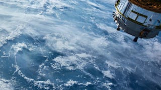
- Observing Earth From Space: The University of Edinburgh
- Spatial Analysis, 3D Data & Machine Learning: Coursera
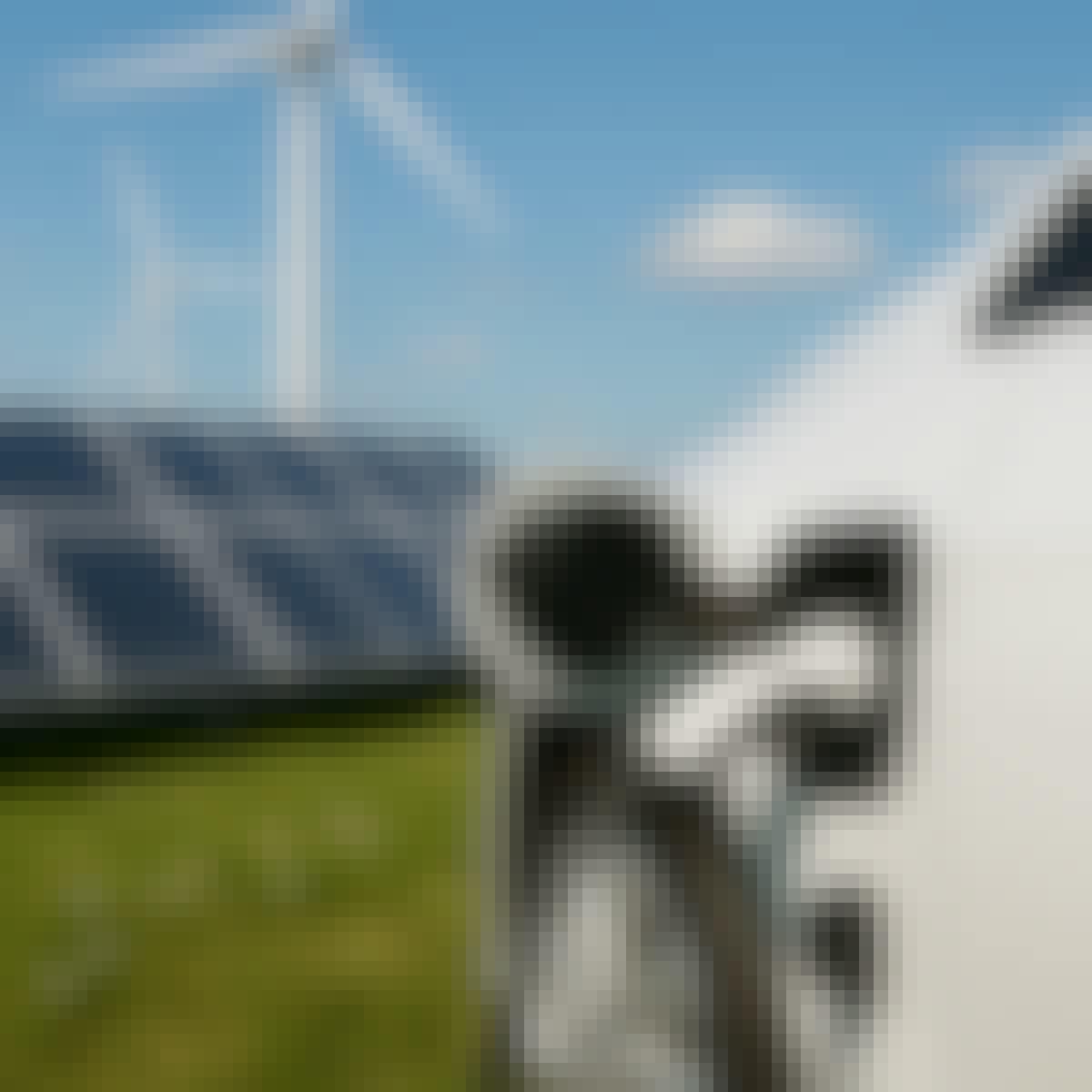
- Sensors for a Carbon Free World: University of Colorado Boulder
- Spatial Data Science and Applications: Yonsei University
- Aeroecology: Exploring Biodiversity with Radar: University of Leeds
- Introduction to Image Processing: MathWorks


